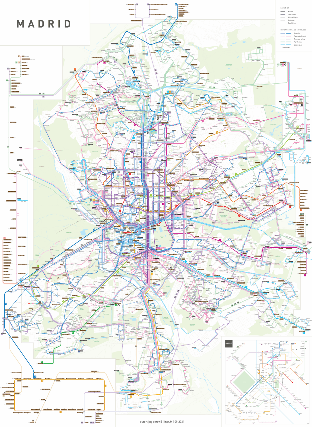
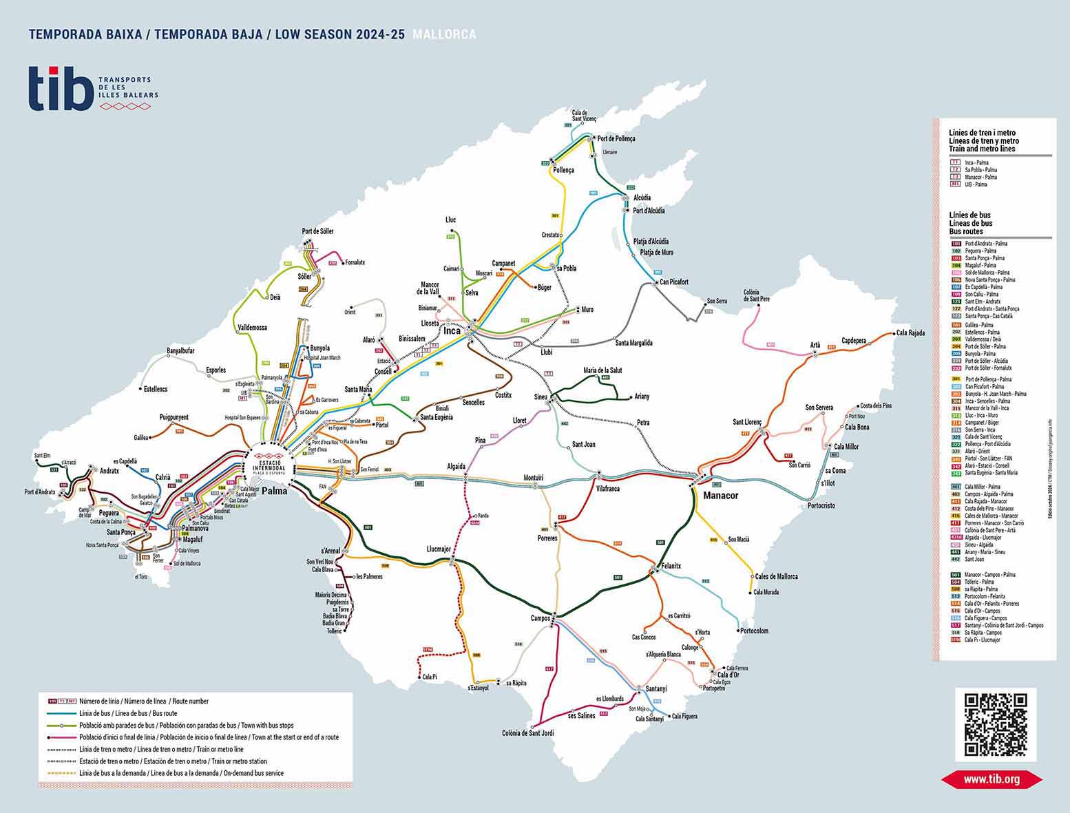
When navigating the vibrant streets of Spain’s capital, having the right resources is essential. The Madrid public transport map is a crucial tool for both residents and visitors alike, showcasing the extensive network of buses, metros, and trams that connect the city.
Why Use the Madrid Public Transport Map?
With its rich history, art, and culture, Madrid, as a city, reflects a unique blend of modern life and historical charm. Utilizing public transport ensures you can fully experience the city’s iconic sites, from the magnificent Royal Palace to the bustling Puerta del Sol.
Public Transport Options
Madrid boasts a comprehensive public transport system, which includes:
- Metro: One of the largest and most efficient metro networks in Europe.
- Buses: Connecting all neighborhoods and points of interest.
- Trams: A convenient mode of transport in certain areas.
Visitors and locals can take advantage of the Madrid public transport map, available for free download or print. This tool will help ensure you make the most of your journey through the heart of Spain.