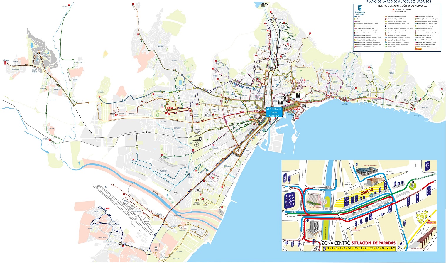
Málaga, a vibrant city located in the southern region of Andalusia, is known for its rich history, beautiful beaches, and lively atmosphere. The city’s extensive public transportation network makes it easy to navigate and explore the many attractions it offers. A Málaga public transport map is essential for both tourists and locals, and it’s available for free download or print.
Getting Around Málaga
Public transport in Málaga includes various options that make commuting hassle-free. You can choose from:
- City Buses: An extensive bus network connects key areas and attractions.
- Metro: The Metro system is efficient and serves vital parts of the city.
- Trains: Commuter trains provide access to nearby towns and the airport.
Why Use Public Transport?
Utilizing the public transport system in Málaga not only saves time but also allows you to experience the city’s culture more intimately. With easy access to landmarks like the Alcazaba and Picasso Museum, it’s the best way to discover all Málaga has to offer.
For those interested, the Málaga public transport map can be found on this page for your convenience, making your travels smoother and more enjoyable.